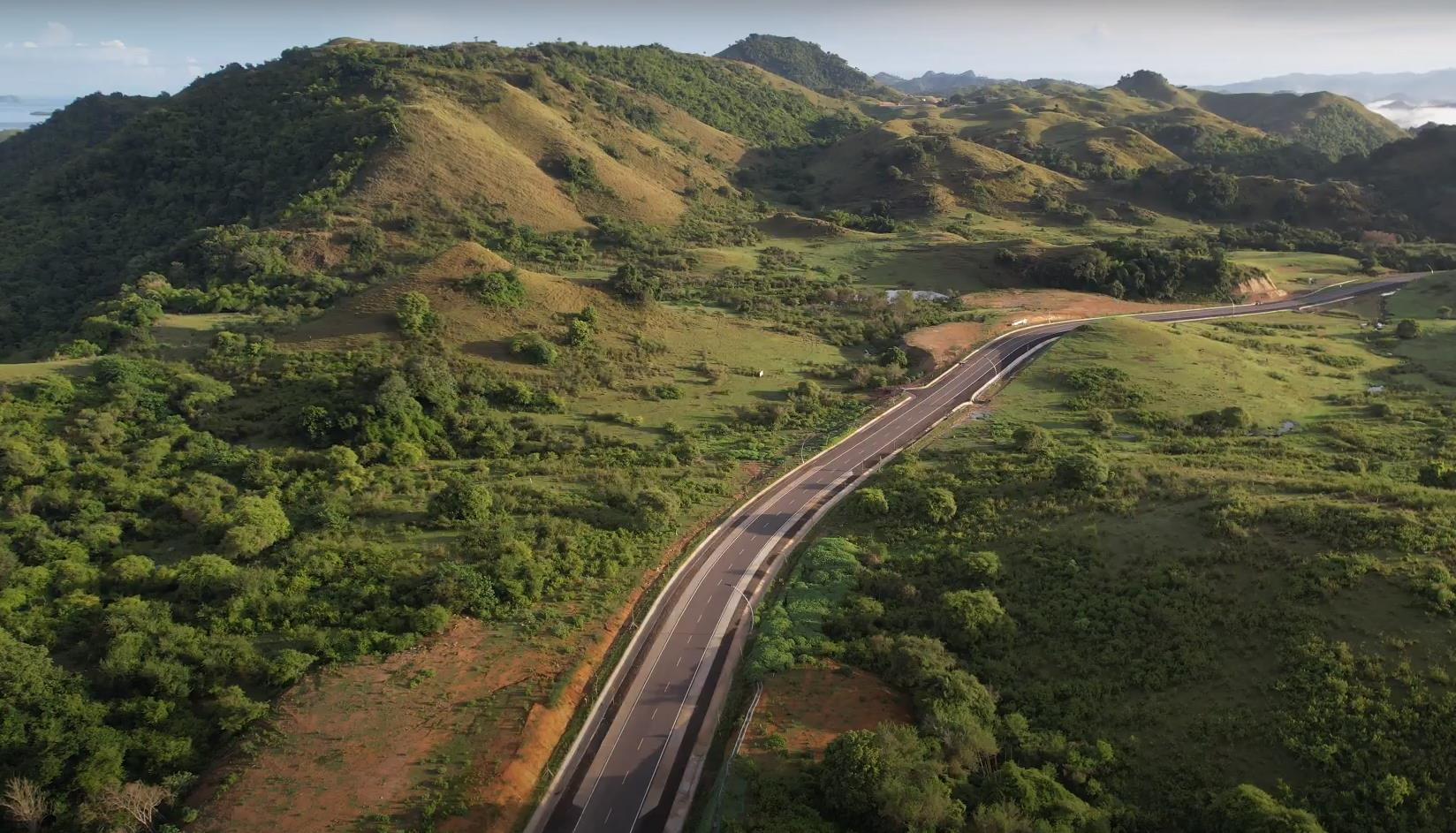
The completed corridor. Courtesy: national roads agency
An interactive map of a qualitative field survey along the Labuan Bajo to Tana Mori road corridor in West Manggarai, East Nusa Tenggara.
In April 2026 a field survey visited five villages along a new 25 kilometre road in western Flores, together with the institutions that planned, built, registered and benefited from it.
The survey asked one question. How is justice embedded in this infrastructure, both in the way it was decided and in what it produced.
This site presents that research as a map. It is just a documentary of a survey findings.
What are the characteristics of infrastructure development in the Labuan Bajo to Tana Mori corridor, and what justice issues have emerged from it?
How is justice reflected in the planning process, across the deliberative, procedural and epistemic dimensions?
How do the impacts of the road reflect the distributive and restorative dimensions?
Semi structured interviews, following an instrument built around the five dimensions above. Accounts are reported as given, including where they contradict one another.
This project is based on interviews, not large-scale surveys or statistical data. It reflects what people experienced, but it cannot show how common those experiences are across the whole community.
When interviewees described the same place differently, those differences were kept instead of forcing a single version. In places where no reliable map or ground truth was available, simple diagrams were used to illustrate what residents described. These are reconstructions from interviews, not surveyed locations.
The routes shown before the road was built are illustrative and represent residents' descriptions rather than exact historical routes.
Please contact the researcher before quoting, reproducing or building on this material. The testimony belongs to the people who gave it.
Return to the story